Ambitions for public spaces are often set in a top-down, sector-by-sector manner. It is only later, when plans are combined, that it becomes clear that not everything is feasible. This can cause disappointment, delays, and the risk that policy goals are not met. The Municipality of Eindhoven deliberately chose a different approach: one that is data-driven, integrated, and transparent. They found the solution in the Programming Instrument for Public Space (PIOR), developed by PosadMaxwan. The key question it addresses is: do our ambitions fit within the available public space, both above and below ground?
CITY
eindhoven
YEAR
2025
AFFECTED PARTY
posadmaxwan
SOLUTION
public space programming instrument (Pior)
SHARE
SOLUTION
PIOR is an instrument that provides insight into the spatial feasibility of ambitions. It consists of three parts:
Excel model: this enters and prioritizes the current situation (via GIS data) and ambitions for each piece of the city's space.
Results dashboard: an online, interactive map that visualizes outcomes and makes them accessible to a broader audience.
Methodology document: a reference document that explains the process and ground rules so that the municipality can work independently with PIOR.
POSADMAXWAN
"PIOR actually offers municipalities a grip on the spatial task. By connecting ambitions and data, choices are made transparent, substantiated and future-proofed."
Elena ChevtchenkoPosadMaxwan
Prioritizing different claims
A municipality divides the area under study into distinct urban spaces, each with its own character. For each space, different claims—such as those for greenery, mobility, water, and energy—are identified and prioritized, ranging from "undesirable" to "legally required." PIOR then calculates whether these ambitions can be accommodated. If not, it immediately shows which claims conflict. This provides a clear basis for concrete discussions between experts and policymakers.
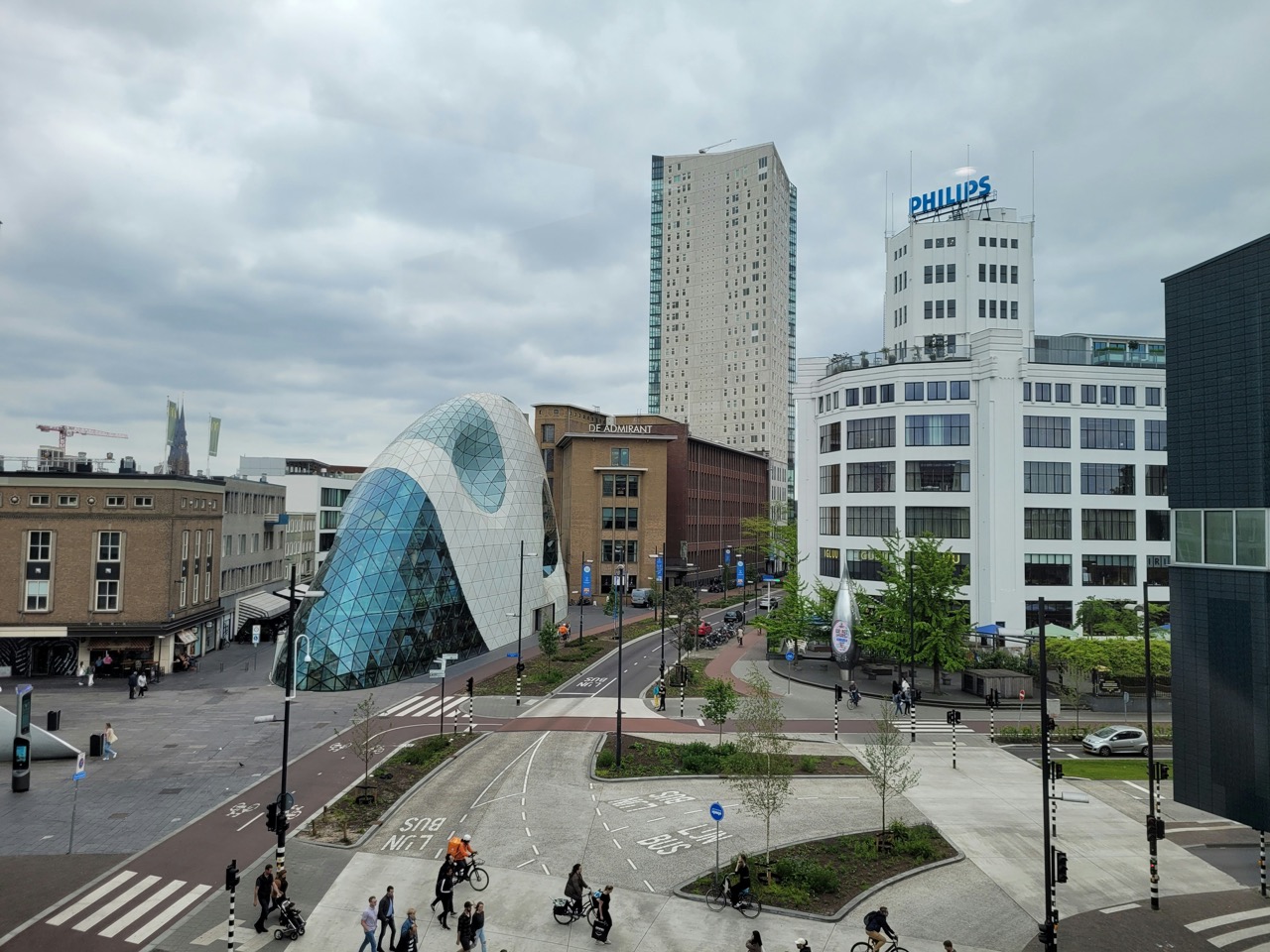
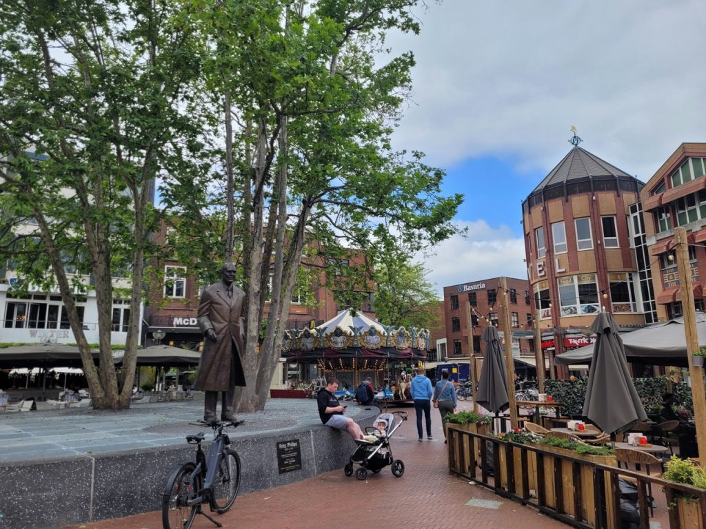
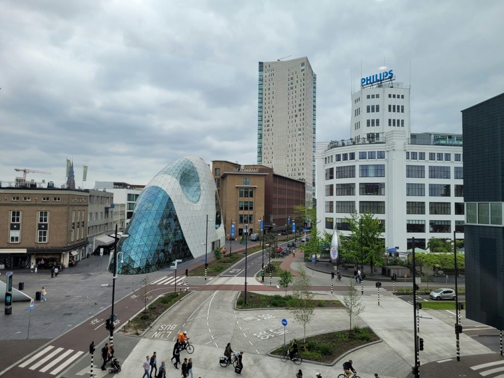
Results in Eindhoven
Eindhoven is the first municipality to fully implement PIOR. The city faces a major densification challenge, with more than forty thousand homes planned by 2040. To maintain livability, measures across mobility, energy, greenery, water, and climate must be carefully coordinated.
Where do ambitions get in each other's way?
With PIOR, Eindhoven got a factual and shared picture of all space claims in the center area for the first time. Ambitions were translated into square meters, both above and below ground. For example: the ambition to plant extra trees was converted into the required space above and below ground. By combining all claims, it quickly became clear what was possible and where ambitions interfered with each other.
Making choices
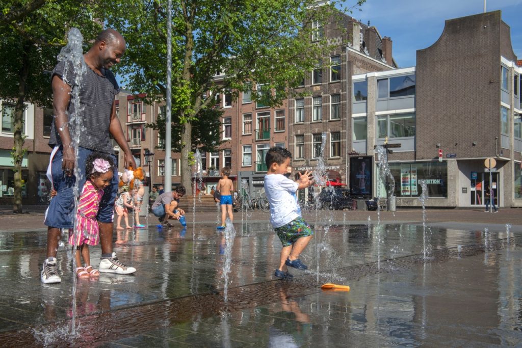
By prioritizing different claims, Eindhoven was able to make clear choices. In squares and parks, greenery was given priority over access roads and mobility. Various departments and disciplines collaborated around a single, shared, data-driven vision. This made discussions about choices and trade-offs concrete and transparent. By identifying potential bottlenecks in advance, costly and time-consuming adjustments can be avoided later. PIOR also allows the city to model different scenarios and understand the effects of choices, for example on health or heat stress.
In short, PIOR helps municipalities get a grip on the spatial puzzle. Bringing ambitions, data and people together creates room for smart choices.
join us make your offer visible to the entire network
We are here for governments, businesses, and knowledge institutions.