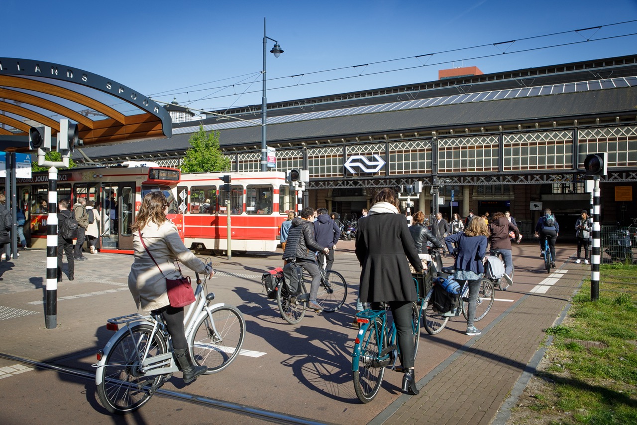
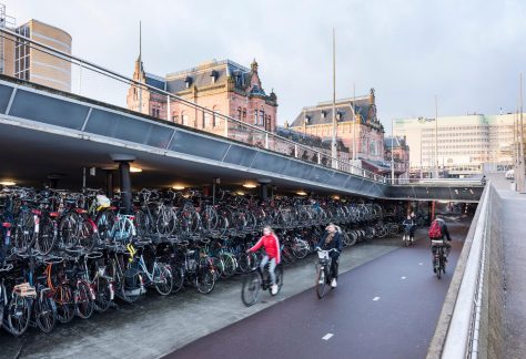
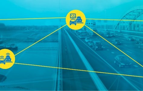
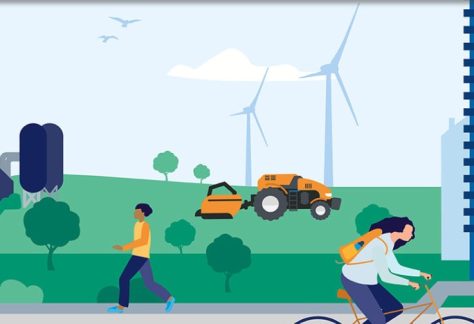
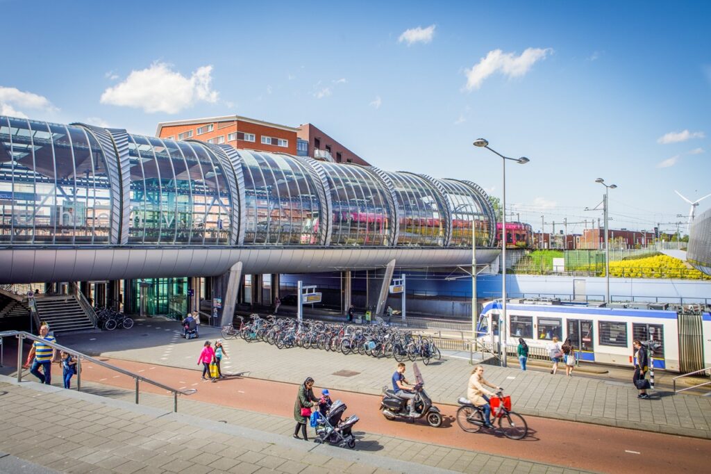
Urban traffic

Traffic is not a natural phenomenon that arises by itself. Movement of people and goods is a consequence of economic and social functions, such as retail and wholesale trade, tourism and recreation, socio-cultural facilities, business and commuting. The way a city is laid out (the locations and size of healthcare, education and offices, for example) has a direct impact on traffic in that city. In addition, in recent decades the number of residents in several cities has increased significantly. Much will change in the coming years: inner-city housing and area development will lead to further urbanization. This offers new challenges and opportunities for set goals such as improving or maintaining accessibility, sustainability, safety and livability. It also requires a better understanding of patterns, anomalies and vulnerabilities to make transportation as sustainable and safe as possible.

Photo of cyclists at a railroad bridge
Photo of a streetcar stop, pedestrian viaduct and people in the city

We want to achieve the following

This theme focuses on the optimal handling of mobility, of all modes, in public spaces. Insight into traffic flow is the key. We set up a 'measurement and control cycle' to continuously measure actual handling of mobility and status of public spaces. We compare the information with policy needs, and with the tools to influence and support mobility. This is how we contribute to improving accessibility, sustainability, safety and livability in cities.

Getting Started

To provide insight into urban traffic, we use UDAP: the Urban Data Access Platform and linked digital chains. This is a platform that acts as an acquisition point (a kind of "pivot point" in the data chain) for the extremely fast and reliable transfer of data, for example, from smart traffic lights to road users and vice versa. Within the urban traffic theme, we are working to expand UDAP so that urban data can also be made accessible. We are working closely with other national data collections, such as NDW, to create as complete a picture as possible. And we enrich the information with insights from other data streams, such as sensor data and safety data from insurers.
Screenshot of UDAP
Photo by Marcel Westerman, Ministry of IenW

Your point of contact

Do you want to know more? Then please contact Marcel Westerman, theme leader Urban Traffic.

Urban traffic is essential to the livability and sustainability of cities, with urban design and understanding mobility patterns being crucial to successful development.

Optimal handling of mobility, of all modes, in public spaces

Into the depths

Within the theme of urban traffic, there are several ongoing projects and programs with which we collaborate and to which we contribute. Together we ensure a safe, accessible and future-proof Netherlands.

click on title for more info

general calendar

Talking Traffic

Talking Traffic is a public-private partnership and the forerunner of the urban traffic theme. Within the partnership, applications were developed to provide road users vehicles on the road with continuous up-to-date information. The rollout of intelligent traffic lights also took place within this Partnership.

VM-IVRA

The VM-IVRA (Traffic Management Information for Route Advice) project creates smart route advice tailored for every motorist. Together with road authorities, service providers and car manufacturers, they are working on digital traffic management.

National Mobility Data Access Point (NTM).

The National Mobility Data Access Point is the place where governments and market parties can publish, find and use mobility data. This includes data from roads, public transport, parking, waterways, partial mobility and other relevant mobility data. The NTM provides insight into the quality of datasets and collaborates with other agencies to improve quality.

Digital Mobility Data System (DSM).

DSM's ambition is to create a mobility data system with and for all governments in the Netherlands, in cooperation with the national government, provinces, water boards and municipalities. Examples of data to be brought together in the data system are: applicable traffic rules, speed limits, environmental zones and restrictions on freight traffic.

Safety Priority Services (SPS).

Users of ANWB, Be-Mobile, Hyundai, Inrix, Kia or TomTom may already have experience with it: they receive an alert from un car or app when a vehicle approaches with flashing lights and sirens. The alert indicates the type of vehicle and the direction from which it is approaching. This is part of Safety Priority Services (SPS).

Skip to content