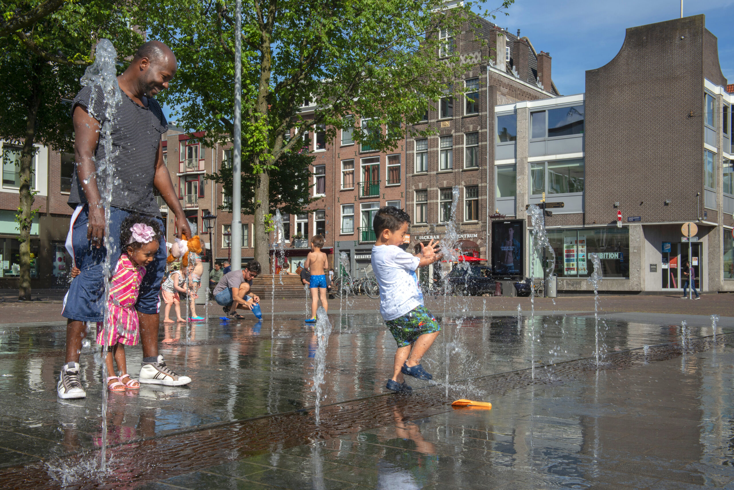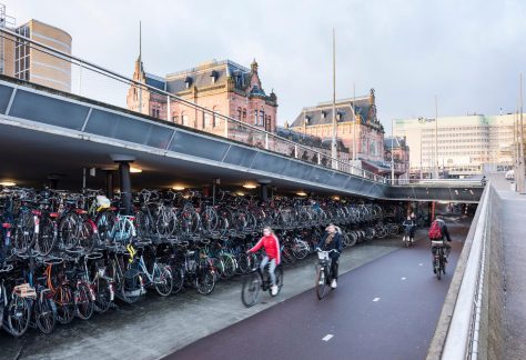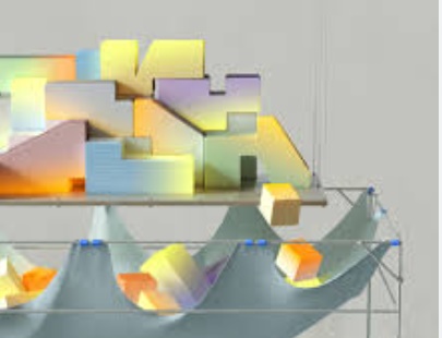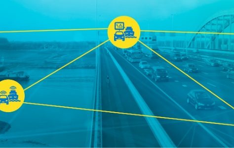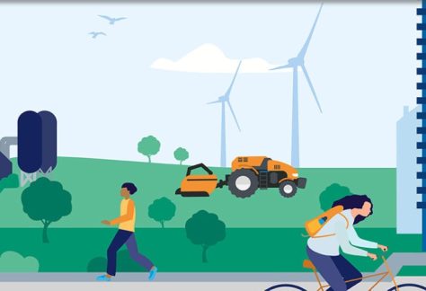


Smart urbanization and public space
In the city, various tasks come together digitally and physically. We need 900,000 additional homes, the climate urgently requires adjustments in the built environment and energy supply is no longer a given. In addition, the pressure on the available space, the mobility system, our energy networks and public finances has further increased. Smart choices are necessary in this, but cannot always be made, partly due to a lack of (digital) information.